Datasee.AI Logo
Connecting Data
Empowering Decisions

Acquire • Decipher • Deliver

Datasee.AI turns drone and satellite imagery into decision-ready analytics across development, construction, and operations.

ABOUT DATASEE.AI

Transforming spatial intelligence into strategic insight

Datasee.AI is a technology-driven geospatial solutions company delivering accurate, innovative, and reliable spatial intelligence for renewable energy and infrastructure projects.

We integrate GIS, advanced data analytics, drone technology, geospatial intelligence, engineering expertise, and AI to transform complex spatial data into accurate, actionable insights.

0 GW+ ASSETS MONITORED
0 COUNTRIES ACTIVE
0+ PARTNERS
0+ CLIENTS

Built for every project phase

Explore Our Complete Solutions

Move from early planning to long-term performance with one connected view of every stage.

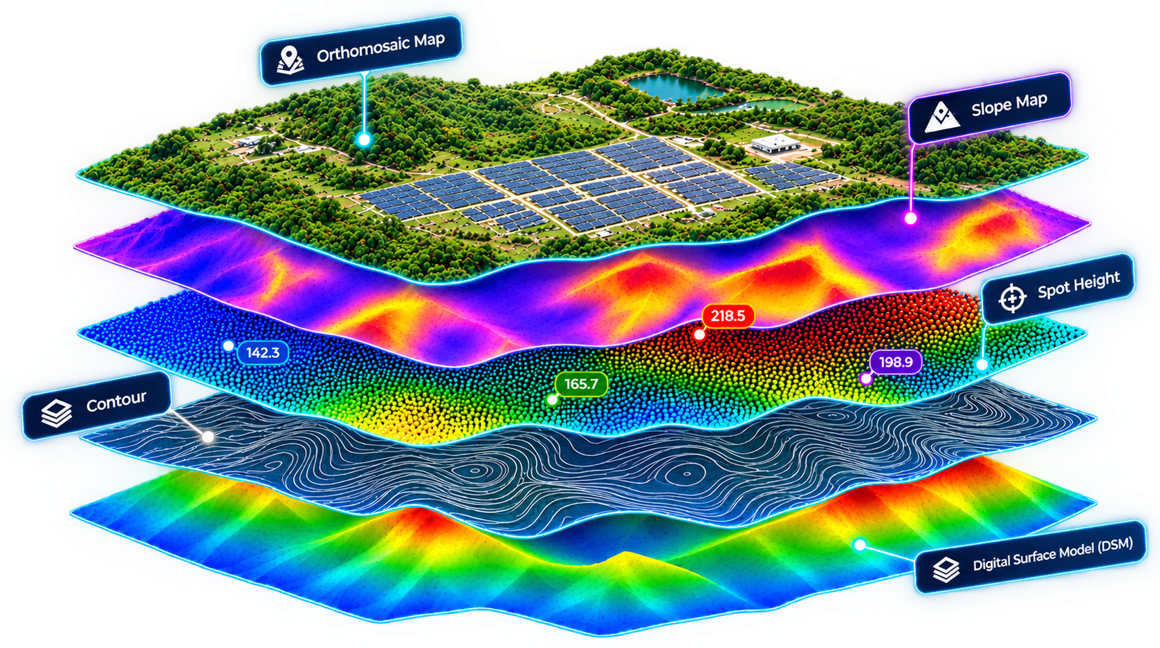
Development Orthomosaic and Contour Layering
STAGE 01 // PRE-CONSTRUCTION

De-risk the site before you break ground

Skip the six-week ground survey. Datasee.AI delivers terrain models, grading estimates, and layout-risk flags in days — so your engineering and finance teams can commit to a design with confidence.

Topographical mapping Cut / fill & grading volume estimation Slope & drainage risk flagging Layout feasibility overlays
See Development in detail →
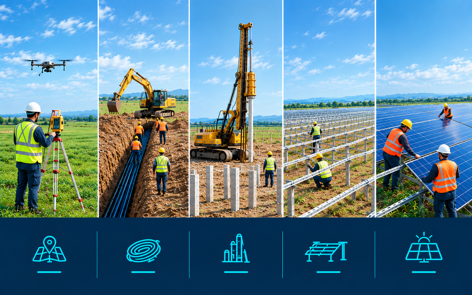
Solar Construction Surveying and Pile Driving
STAGE 02 // EXECUTION

Catch the error before it's poured, piled, or paid for

Progress, quality, and BIM validation turn site flights into a shared view of what has been built, helping project teams keep solar construction on schedule, on specification, and audit-ready.

CAD-overlay QA Progress vs. plan reporting Quality monitoring BIM validation
See Construction in detail →
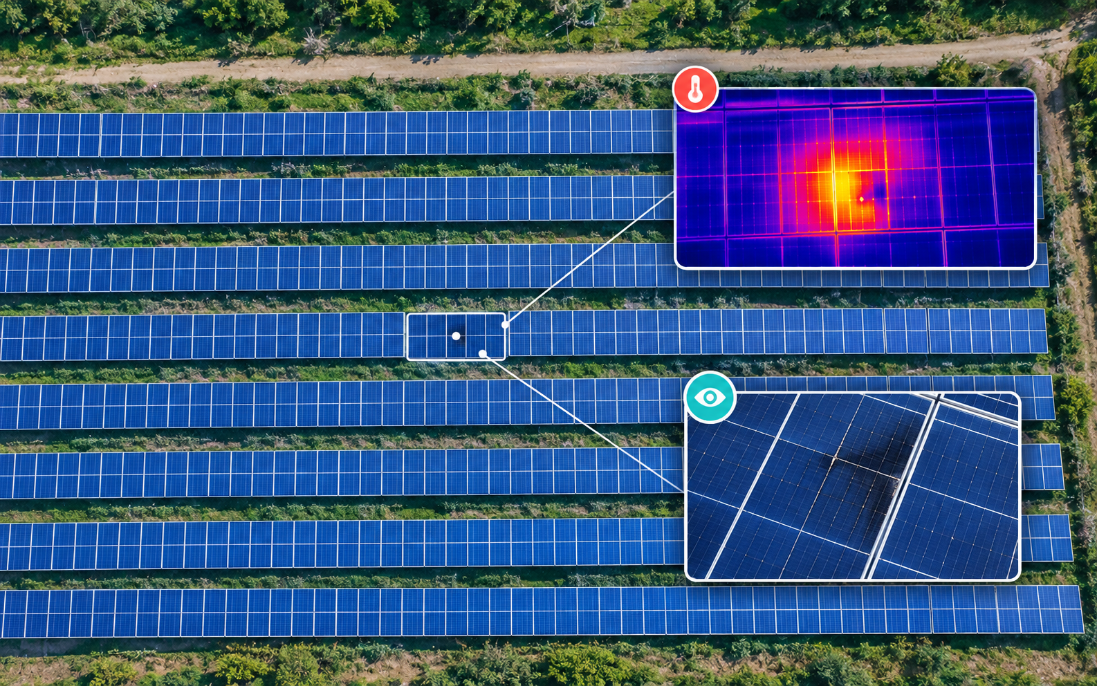
Operations Solar Park Thermal Analysis HUD
STAGE 03 // ASSET MANAGEMENT

Find the underperforming module before the next O&M cycle

Drone thermography turns drone data into defect, power-loss, and asset intelligence, so operations teams can prioritize the issues that matter across the plant lifecycle.

Radiometric thermal analysis Diode failure & hotspot tracking String-level defect classification Power loss quantification
See Operations in detail →
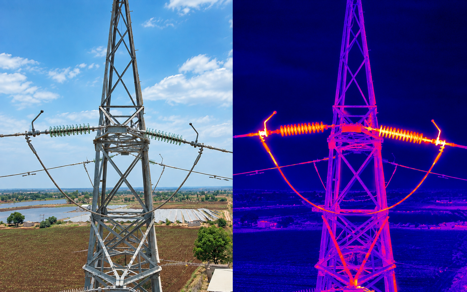
Transmission Line Thermal Pylon Diagnostics
STAGE 04 // NETWORK INTEGRITY

Every tower, without the climb

Drone thermography and defect inspection cover 1,000+ km across 220 kV, 132 kV, 110 kV, 66 kV, and 33 kV lines, replacing tower climbs with GPS-tagged, severity-classified findings.

High-voltage corridor mapping Insulator hotspot detection Substation & pylon inspection Automated fault classification
See Transmission Line in detail →
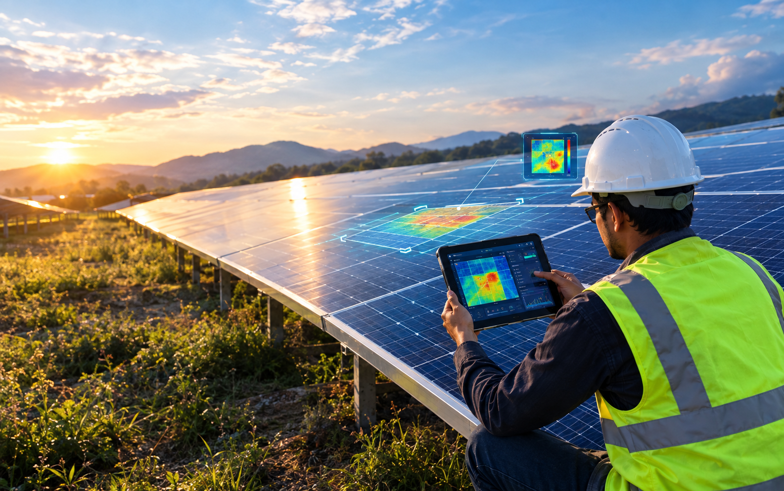
Technical Due Diligence Engineer with Field Tablet
STAGE 05 // TRANSACTIONS & AUDITS

Independent evidence for bankable decisions

A consolidated, evidence-based asset-health package gives investors and lenders a clear technical read, with turnaround in as little as five days depending on plant size.

Bankable asset health audits Rapid 5-day turnaround SLA Independent defect quantification Executive risk verification
See Technical Due Diligence in detail →
WHY DATASEE.AI

A smarter way to plan, build, and operate

A proven aerial intelligence platform delivering end-to-end efficiency, unmatched accuracy, and rapid decision turnaround across utility-scale operations.

Faster decisions
SPEED

From flight to report, without the weeks-long turnaround

Accurate site intelligence
ACCURACY

High-precision terrain and defect data designed to support confident decision-making

Automated analysis
AUTOMATION

Terrain risk, construction deviation, and thermal anomalies flagged automatically

Actionable reporting
REPORT

Every flagged item ships with location, severity, and a suggested next step

Complete visibility
COVERAGE

One dashboard covers development, construction, and operations seamlessly

CONTINUOUS GEOSPATIAL INTELLIGENCE

ONE PLATFORM FLIGHT PATH

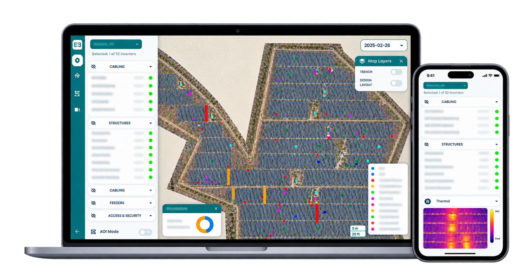
The complete renewable project lifecycle, in one place. A single platform connects solar development, construction, and operations with transmission-line inspection and technical due diligence—so every team works from one consistent standard.

3D globe with markers on India, Uzbekistan, Morocco, Egypt, Zambia, Zimbabwe, Kenya, United Kingdom, Spain, Italy, Chile, Colombia, United States, and Saudi Arabia

Global Scale

The Scale Behind the Skyline

Topographic Surveys

~30GW

Aerial Thermography

~45GW

Construction Progress

~12GW

Transmission Line Inspection

1,000+km

14 countries marked
PORTFOLIO EXCELLENCE

Trusted by industry leaders worldwide

Powering geospatial operations, real-time aerial survey data, and predictive maintenance for global clean energy pioneers.