
The Complete Platform for Solar & Transmission
Pre-construction intelligence that de-risks bids and design
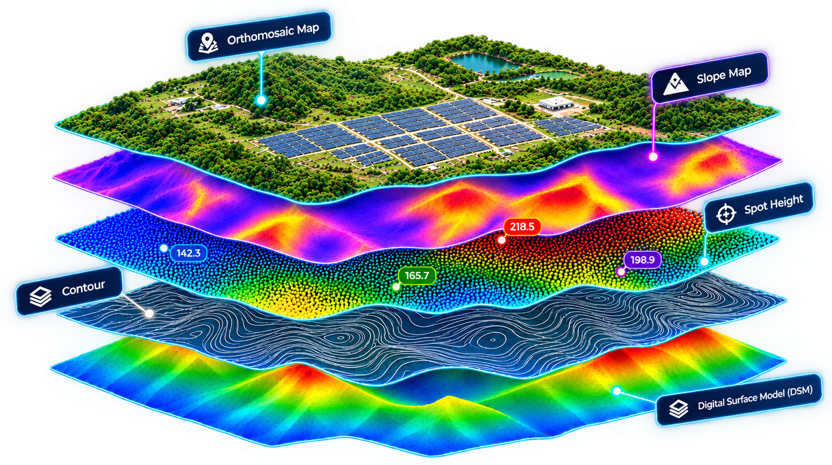
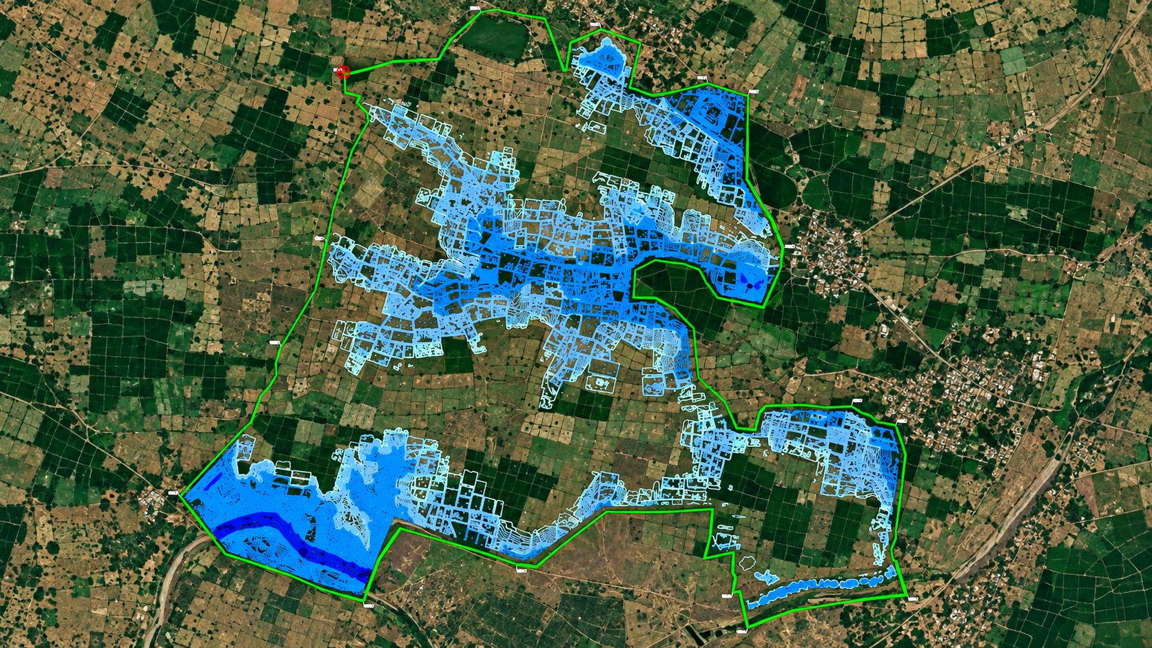
Pre-construction survey, terrain mapping & hydrology intelligence that de-risks bids and design before ground is broken. One drone flight delivers terrain models, cut/fill volumes, and drainage analysis — all survey-grade and ready for design teams.
Survey Engineers, Design Engineers, Project Planners, Heads of Design & Engineering
Prior to bidding & post tender sanction
Orthomosaic imagery, DEM/DSM/DTM, cut/fill volumes & HEC-HMS flood risk modeling
Terrain Mapping & Elevation Profiling
Orthomosaic imagery, DEM/DSM/DTM, contour maps, spot heights for precise design inputs. Survey-grade accuracy without traditional ground surveys.
Earthwork Computation & Grading Plans
Cut/fill estimation, slope analysis, optimize grading plans. Cut grading costs, prevent soil-stability issues, and optimize terrain modification.
Hydrology & Flood Risk Modeling
HEC-HMS watershed analysis, stream network, flow direction, 25/50/100-year flood lines. Protect long-term plant viability before layout is locked.
Detailed Methodology & Equipment
Survey Grade Methodology
RTK/PPK-enabled drone flights cross-referenced with DGPS base stations ensure horizontal and vertical accuracy within ±3 cm. All data outputs format directly into Civil 3D, AutoCAD, and PVsyst for seamless layout integration.
Sensor Payload
High-resolution 45MP full-frame photogrammetry cameras paired with multi-return LiDAR sensors ensure precise ground penetration even in heavily vegetated or undulating terrains.
Real-time asset intelligence from commissioning through decommission
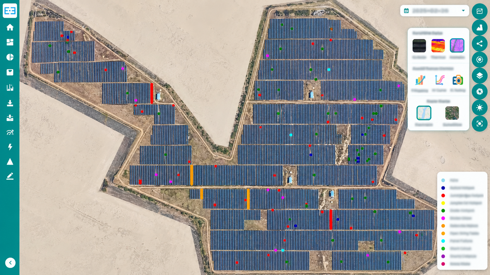
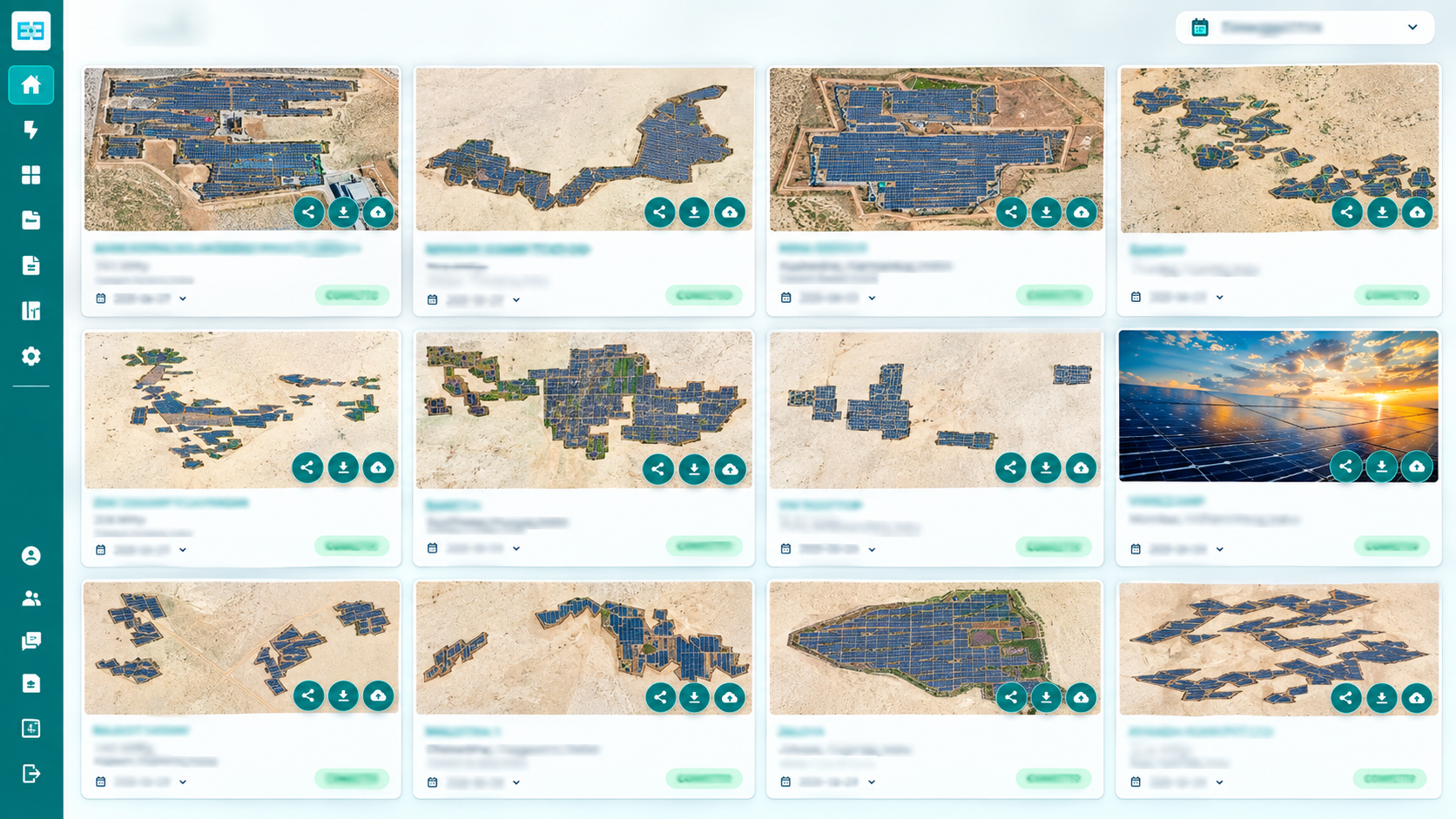

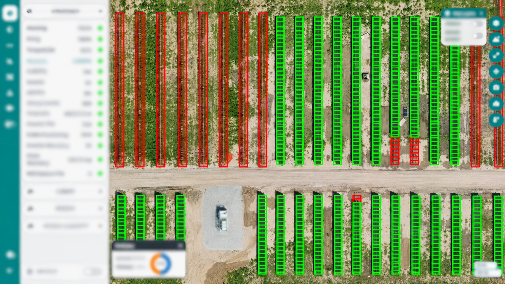
Monitor construction progress with precision, track array performance in real-time, and detect thermal defects before they impact revenue. We transforms drone imagery into actionable operational intelligence across your entire plant lifecycle.
O&M Service Providers, Plant Managers & Site In-Charges, Asset Managers & Portfolio Heads, Insurance Risk Assessors
Pre-commissioning baseline (HOTO), scheduled annual/semi-annual thermography, post-event weather audits
IEC 62446-3 defect classes, hotspot ΔT, string-level power loss calculation & automated OEM warranty ticket generation
Thermal Analysis & Defect Intelligence
Automated defect classification and revenue-loss analytics driven by proprietary computer vision.
Warranty Workflows & Standards
Automated Warranty Claims
Defect reports include high-resolution thermal and RGB cutouts, module serial numbers, and manufacturer-specific warranty templates, accelerating claim turnaround from months to days.
IEC Compliance
All inspections strictly comply with IEC 62446-3 standards for outdoor infrared thermography of photovoltaic modules and plants in operation.
Transmission Line Monitoring & Inspection
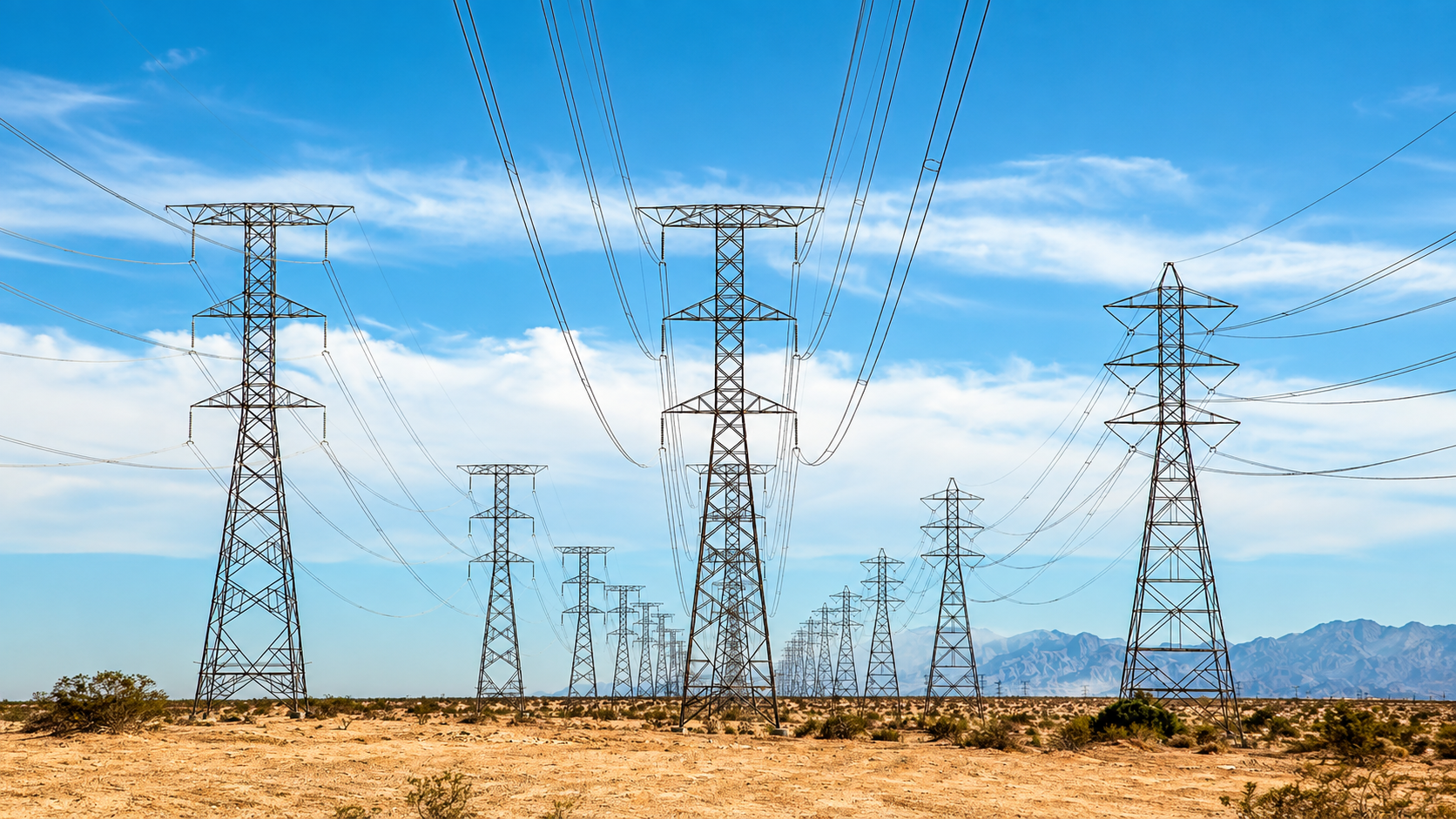
Drone thermography and defect inspection across the transmission network — 1,000+ km monitored across 220kV, 132kV, 110kV, 66kV and 33kV lines in Rajasthan, Karnataka, Gujarat, Tamil Nadu, Andhra Pradesh, Maharashtra and Uttar Pradesh.
Transmission O&M Engineers, Asset/Line Managers, Utility Technical Teams, Heads of O&M
Post-commissioning HOTO, periodic O&M cycles, pre-monsoon/pre-summer maintenance windows
220kV, 132kV, 110kV, 66kV, and 33kV high-voltage lines across 7 Indian states
Drone Thermography & Defect Identification
Tower-wise RGB + thermal imagery flags hotspots, insulator flashovers, and hardware defects with severity classification, all GPS-tagged and mapped to pylon coordinates.
Maintenance & Corridor Details
Data-Backed Maintenance Planning
A complete GPS-tagged defect baseline categorizes repairs by thermal severity and tower ID, optimizing spare part logistics and crew dispatches.
Corridor Geographies
Field-proven across 1,000+ km of corridors in Rajasthan, Karnataka, Gujarat, Tamil Nadu, Andhra Pradesh, Maharashtra, and Uttar Pradesh under extreme ambient heat and grid-load conditions.
Independent Evidence for Bankable Decisions
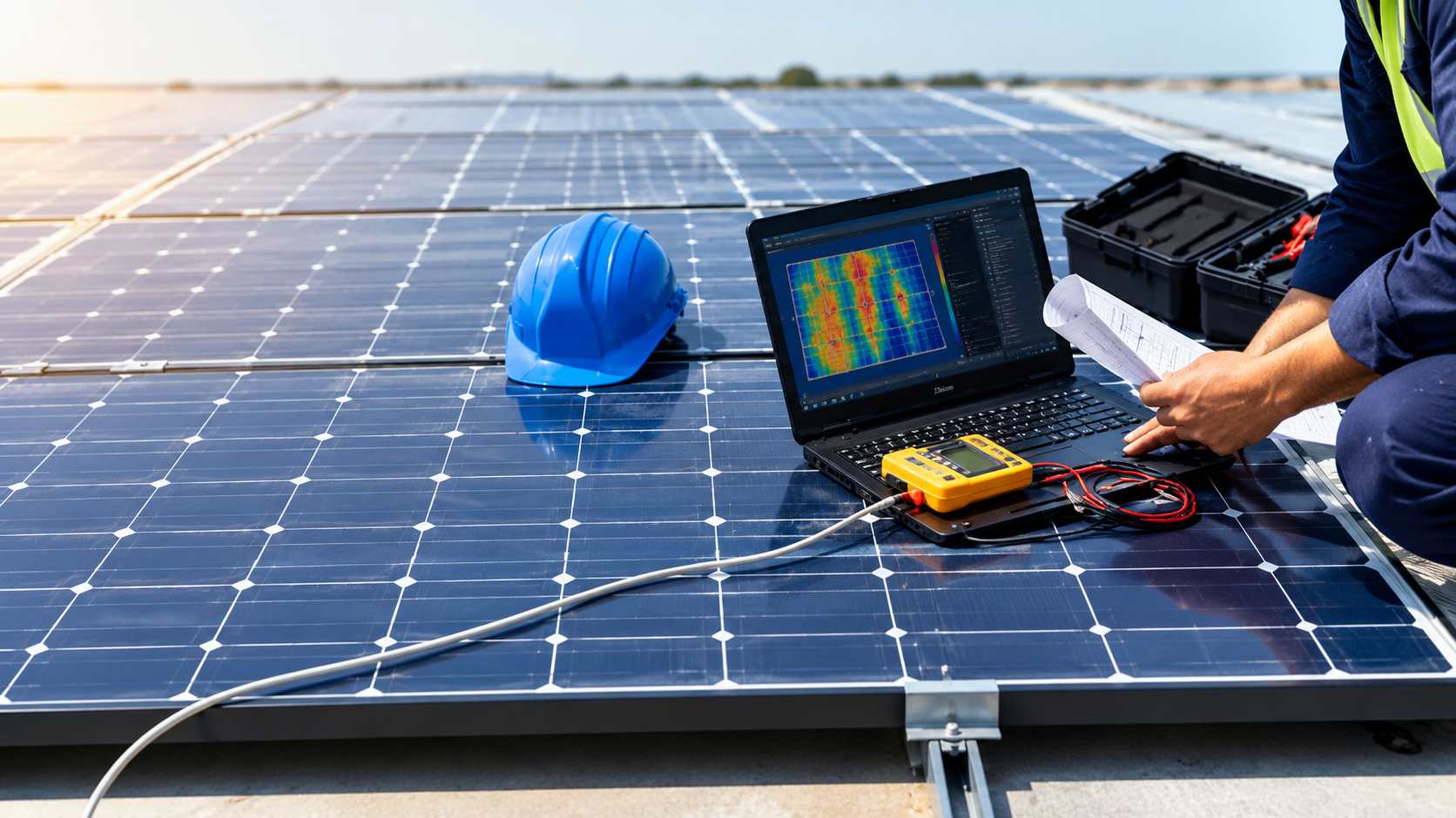
A consolidated, evidence-based asset health assessment for investors and lenders — with a streamlined turnaround tailored to plant size and scope.
PE Investors, Lenders/Financiers, Consultants/Advisors, Asset Owners, O&M Service Providers
During due diligence for acquisition, investment, or refinancing
Consolidated asset health and bankability package turned around in as little as 5 days
Technical Due Diligence Scope
Drone Thermography
Full-site RGB & thermal orthomosaic, geo-referenced defects, and revenue-impact power-loss estimation.
Field Walkthrough Audit
Site-wide physical audit across 5 categories — MMS, cabling, alignment, civil, vegetation — with High/Medium/Low severity tagging.
Module Inspection & Key Benefits
PV Module Visual Inspection
Statistically sampled inspection per ISO 2859, with a comprehensive 27-point defect checklist per module.
EL Imaging (Sample Basis)
EL & flash testing on sample modules to detect micro-cracks, cell defects, soldering issues & bypass diode failures.
Key Technical Audit Benefits
-
•
Faster decisions Consolidated physical, module & thermal findings in one package.
-
•
Defensible data Geo-tagged photographic evidence accepted by lenders and insurers.
-
•
No operational delay Non-invasive aerial and sample testing keeps plant generating.
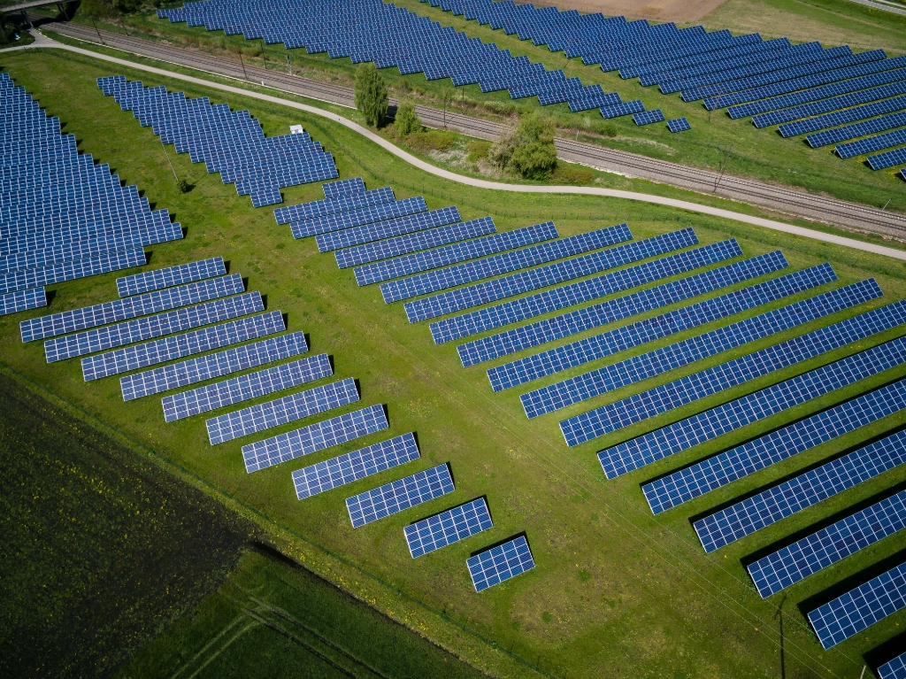
Make Every Panel Perform.
Experience a personalized 30-minute walkthrough tailored to your project — see exactly how our platform transforms your workflows.